
How Space Tech is Helping Fighting COVID-19

Space technology helps fight against the coronavirus pandemic using satellites as assets or using technology transfer. Mapping and Geographic Information Systems (GIS), Earth observation, remote sensing, satellite communication, artificial intelligence (AI) driven satellites, global navigation satellite systems, and other technologies helped governments and private sectors combat and monitor the virus’s spread. It allows to manage people’s movement and provides information about the global response to the stay at home and social distancing policies. Various governments use different satellite data types to make decisions and manage activities, such as imposing quarantine measures, checking migrant workers’ movement, ensuring the electricity and water supply, and transportation for essential goods.
How Space Data is Helping Fight Coronavirus Pandemic
Satellite imageries give information about what is happening in major cities, tourist destinations, highways, industrial sites, identifies the infection source’s scale and location, and evaluate medical facilities and mortuaries.
GIS is a computer-based tool that stores, manages, and visualizes geographical data from remote sensing satellites, allowing collective analysis of geospatial data needed for health mapping. By combining geospatial analysis, statistical modeling, and sophisticated algorithms, GIS helps understand an emergency scale and facilitates epidemiological data management and processing, improving epidemiological surveillance without putting humans at risk. Environmental factors such as weather are critical for epidemic management, and satellites can provide such information at local and global levels. Remote sensing satellites provide information about possible disease-carrying vectors like insects or rodents, helping to monitor infectious disease outbreaks.
Space technologies are also used in patients’ diagnosis, screening, quarantine, treatment, hospital construction, disinfection operation, health workers’ mobilization, and reduced medically unnecessary face-to-face personal contact. The usage of space tech by the health sector isn’t something new. Ultra-light robots are used for surgery and artificial organs and prostheses production. The use of artificial intelligence in diagnosis and treatment is increasing. The space sector allows frontline health professionals to do their jobs more effectively, as satellite communications enable doctors to connect to patients virtually. Telemedicine enables health professionals in smaller towns with limited resources to get real-time advice from specialists in equipped hospitals, particularly useful due to medical staff shortages and overloaded health facilities.
Communication satellites help people cope with the pandemic by overcoming geographical barriers imposed by isolation and social distance, such as school suspension and travel restrictions. It connects users in different physical locations through internet services, radio, television broadcasting, and text messages, allowing people to complete remote activities from home, such as e-learning.
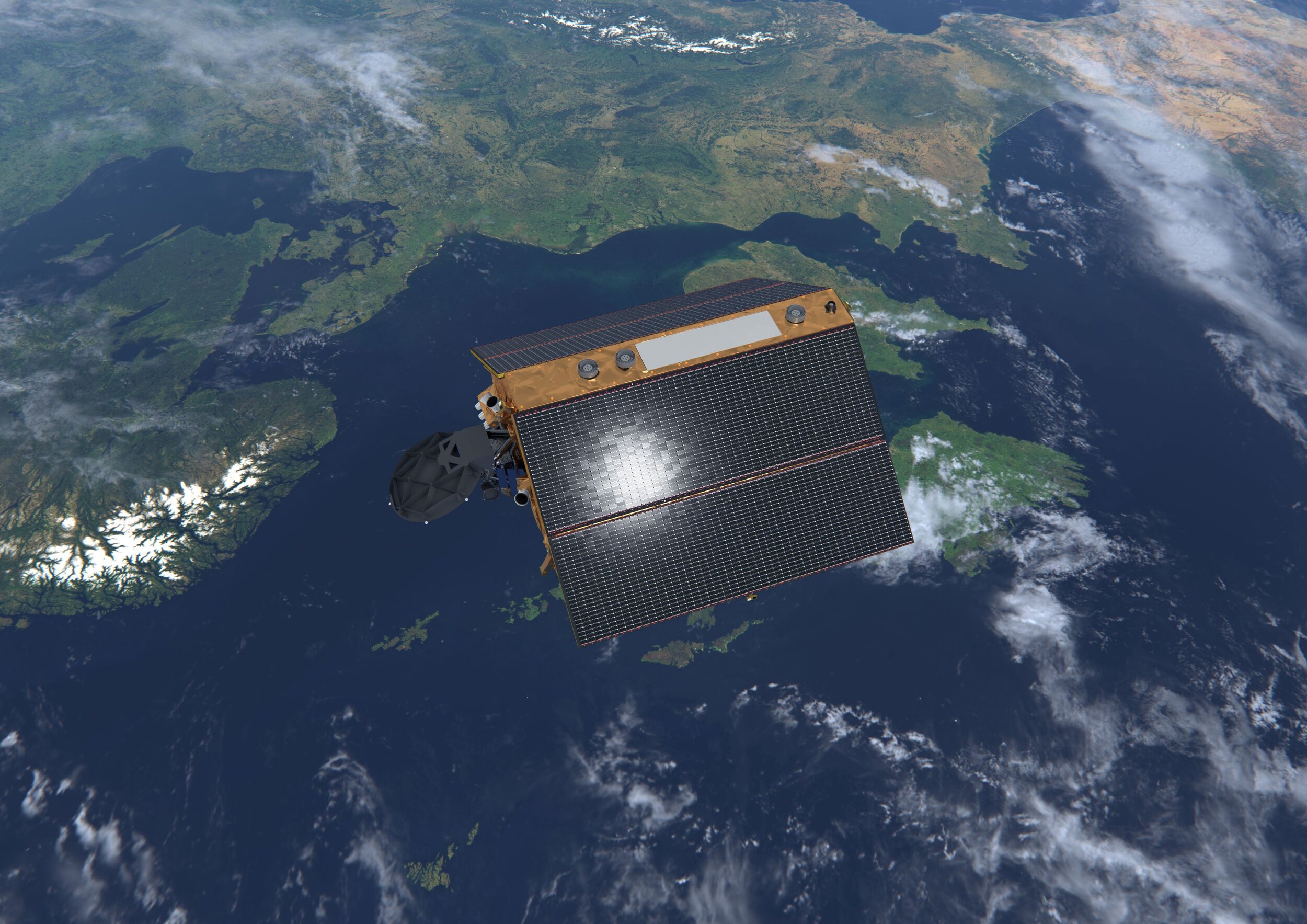
Image Credit: ESA/ATG medialab
How Europe and ESA are Using Space Tech to Fight Against Coronavirus Pandemic
With more than 30 satellites, the EU Space Program, especially the Earth Observation component, Copernicus, and its satellite navigation system, Galileo, provides free open data. Together with in-situ observation, analytics tools, and artificial intelligence algorithms, these data help the scientific community, public authorities, and service providers understand the consequences of the crisis, mitigate its potential impacts, and anticipate new models for the recovery period.
COVID-19 lockdown measures and border closures caused traffic congestion at borders between the EU Member States. To improve freight traffic flow between countries and the Green Lane border crossings, the European Global Navigation Satellite Systems Agency and European Commission developed the app Galileo Green Lane. It monitors and facilitates traffic and offers an interface between border authorities and drivers with real-time maps, allowing efficient transit of critical goods. The agency also provides a list of navigation satellite-based apps to help officers and citizens respond to COVID-19. The applications have many different usages, from supporting public authorities to understand the outbreak’s dynamics to support citizens’ everyday lives.
Global navigation satellite systems (GNSS) offer accurate location data, allowing emergency responders to provide critical support to the ones in need and help citizens safely navigate the outdoors, avoiding crowded supermarkets. ESA BIC UK supported the start-up Lanterne to develop the social distancing app, Crowdless, which uses open-source data, GNSS technology, and high-resolution satellite images to provide real-time information on supermarkets’ crowdedness, helping people navigate safely.
EU satellite data simplify the Common Agricultural Policy (CAP), minimizing disruption to agriculture. It is very problematic for the Paying Agencies across the EU to perform the relevant on-site checks for farmer subsidy declarations with travel restrictions. However, control can be done with Copernicus data instead of locally, mitigating the disruptions caused by social distancing and other Coronavirus-related measures.
Copernicus and Galileo, together with other public and private datasets, are used by the Farm Sustainability Platform to provide solutions for sustainable and competitive farm and land management, helping mitigate COVID-19 disruptions.
The Rapid Action Coronavirus Earth observation tool (RACE) developed in collaboration with the European Space Agency (ESA) uses artificial intelligence, data analytics, and Earth observation satellite data to measure the pandemic lockdown’s impacts and monitor post-lockdown recovery on a local and global scale. It monitors the environmental parameters, air and water quality changes, economic and human activities, industry, shipping, construction, traffic, and agricultural productivity. Due to its diverse functionalities, besides helping during coronavirus pandemic, the tool can be useful in vast areas.
How is China Using Satellite to Fight Against COVID-19
BeiDou navigation satellite system is used In China to track infected patients’ locations and monitor cargo transportation to disinfection sites. Wuhan government promotes a BeiDou based social app, Wuhan Mini Neighborhood, to find ill patients that can’t go to the hospital due to severe respiratory failure and to reduce the risk of cross-infection between patients and staff. Wuhan residents can report their symptoms on the app, which offers a preliminary diagnosis, locates the patients, and send the information to the responsible hospital, which arranges volunteers to transport the patient in ambulances designed for contagious diseases. The app will also notify the neighbors to stay away from the address and decontaminate the infection source.
China also uses BeiDou to promote drone-based aerial biocontrol and disinfectant spraying. Drones have high mobility and can check the concentrations of viruses and bacterias in the air at centimeter-level accuracy. It can be 50 times faster than traditional means and reduces biosafety hazards risk to workers.
To mitigate traffic conditions and make a more efficient delivery of urgent supplies, China’s transportation management department equipped all vehicles to Wuhan with BeiDou based devices to access the national networking control system. That allows the transportation command center monitor, dispatch, and manage vehicles.
The Satellite Industry Technology Research Center of China developed a COVID-19 health mapping using data from the AI-driven satellite for infectious disease surveillance, TFSTAR. The map allows users to see the confirmed coronavirus cases’ distribution and trajectory and measure the distance between them and infested area. It also shows the stores with disposable masks available, if users used the same public transport facilities as confirmed patients, and locates the nearest infectious diseases hospital.

Imagem Credit: NASA/JPL-Caltech
How is NASA Using Space Tech Spinoffs to Fight Against Coronavirus
Besides using satellite data, space agencies have been developing technologies to help fight against the coronavirus. For example, NASA has a crowdsourcing program, NASA @ WORK, where its employees develop solutions to support the pandemic response. NASA’s employee designed an oxygen hood, a sterilizing device, and a ventilator.
In partnership with Virgin Galactic, the engineers at NASA’s Armstrong Flight Research Center in California, which generally work on aircraft-related technologies, developed an oxygen hood that provides the appropriate oxygen pressure for COVID-19 patients and protects healthcare workers from infection.
NASA’s technology of spacecraft sterilization and planetary protection to prevent contamination of other worlds is used to sterilize the inside of a room. It fogs the room sterilizing every surface. Ambulances have been using an early version of this technology transfer for a while.
A new ventilator, VITAL (Ventilator Intervention Technology Accessible Locally), was designed by staff at NASA’s Jet Propulsion Laboratory (JPL). While a traditional ICU ventilator is used in multiple situations, this ventilator is exclusively for COVID-19 patients. It is simpler, quicker, and cheaper to make and doesn’t need specialized parts. However, it doesn’t last as long as the hospitals’ devices. Vital’s flexible system fits temporary field hospitals, such as the ones in hotels and convention centers. Caltech, which operates JPL, released the design on a royalty-free license for production.
As we can see, space technologies play a significant role in fighting coronavirus and facilitating daily life.
Follow us on Linkedin, Twitter, or Facebook to get our updates.
This article was written by Juliane Verissímo - Marketing Department of VisionSpace.